~/projects / koartgo
KoartGo
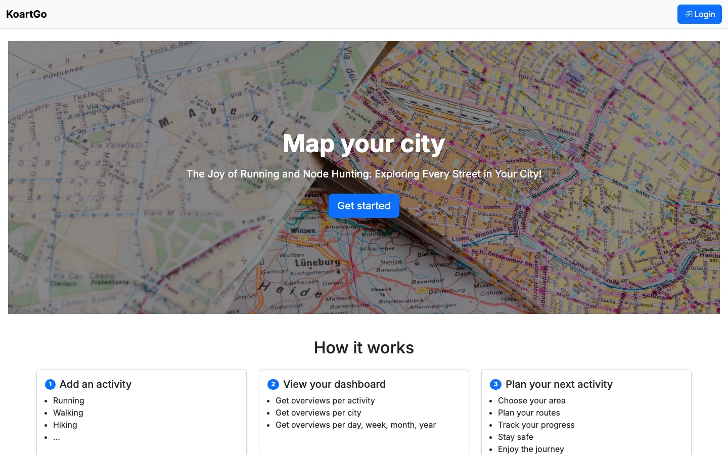
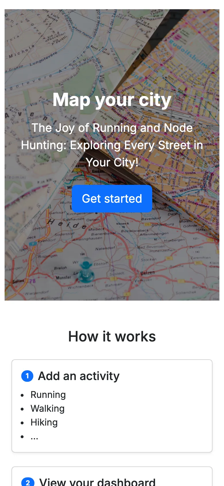
Map your city, street by street. Track every street you have run, walked or cycled, and see how much of your city you have really explored.
what it is
Import your activities from Strava or Garmin, or track them live, and KoartGo works out which streets you covered. Progress adds up per street, neighbourhood, city, province and country, so "run every street in my town" becomes a goal you can actually measure.
how it is built
The core is a matching problem. Every street from OpenStreetMap is turned into a grid of points five metres apart; GPS tracks are matched against those points in PostGIS, and street progress is rolled up through the admin-area hierarchy. Heavy imports and recalculations run as background jobs, so uploading a long ride never blocks the app.
The web app is Django with HTMX and a Leaflet map; a Flutter app talks to the same backend through a JWT-secured REST API.
stack
- Django
- PostGIS
- OpenStreetMap
- Celery
- Leaflet
- HTMX
- Flutter